Data labeling and annotation
High quality and fast training dataset generation.
TRAIN YOUR ML MODELS WITH HIGH QUALITY DATA
Our team specialized in creating high-precision ML annotations has developed a custom annotation pipeline that ensures rapid and consistent creation of quality labels that produce superior ML outcomes.
ANNOTATION TYPE
Our annotation service offerings
We have extensive experience in data annotation and labeling and offer a variety of annotation types, including:
Image classification:
Determines presence/absence of certain patterns or objects in an image.
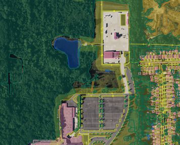
Object detection:
Combines classification and localization to determine what objects are in the image and specify where they are, using bounding boxes.
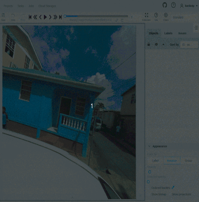
Image segmentation:
Separates an image into regions, each with its particular shape and border.
USE CASES
Data that shape a better world
We do not simply generate data; we create data with a purpose — to shape a better world. The datasets we produce serves as a primary input for impactful projects across various domains:
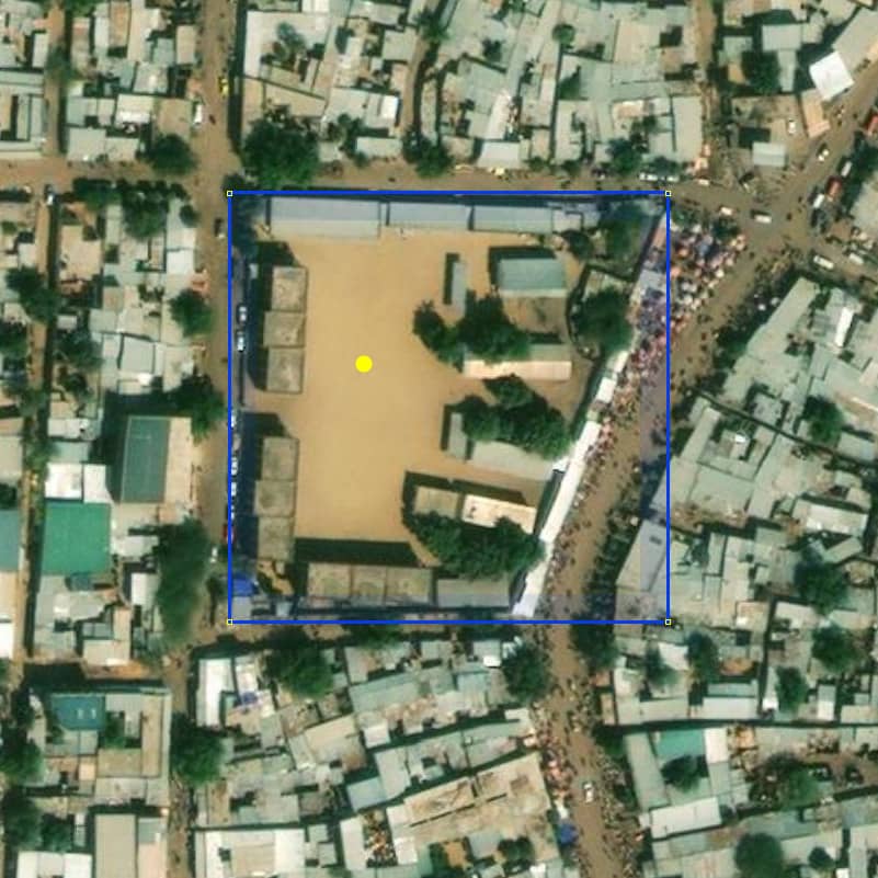
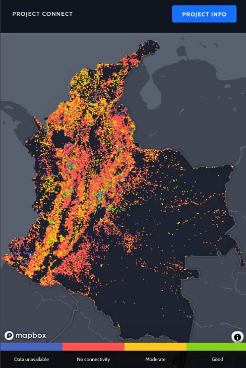
Mapping schools to accelerate connectivity:
The school training datasets have been crucial for scalable machine learning applications to map schools in low-income countries with the aim to expedite connectivity and online learning for children and their communities.
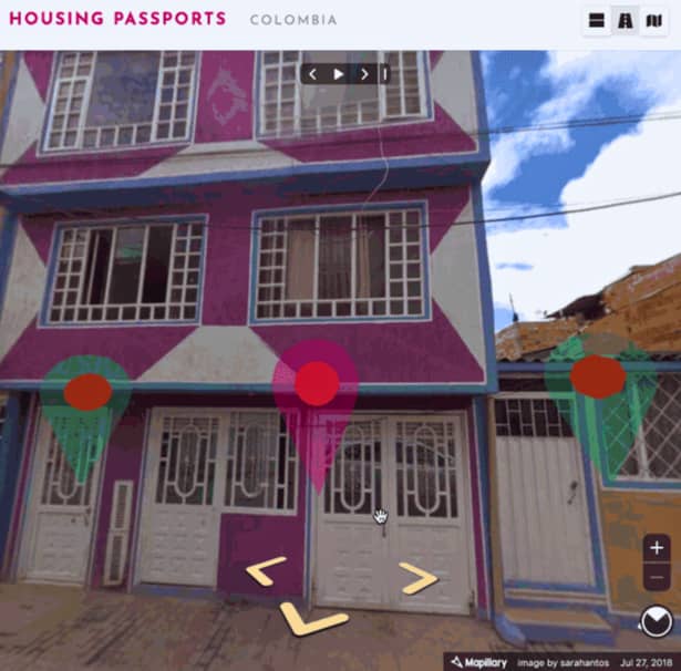
Build sustainable cities:
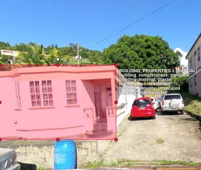
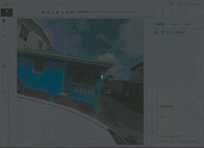
The annotation of building properties was an input of a huge project for identifying vulnerable buildings trough street view images with the aim to retrofit these structures and create safer cities.
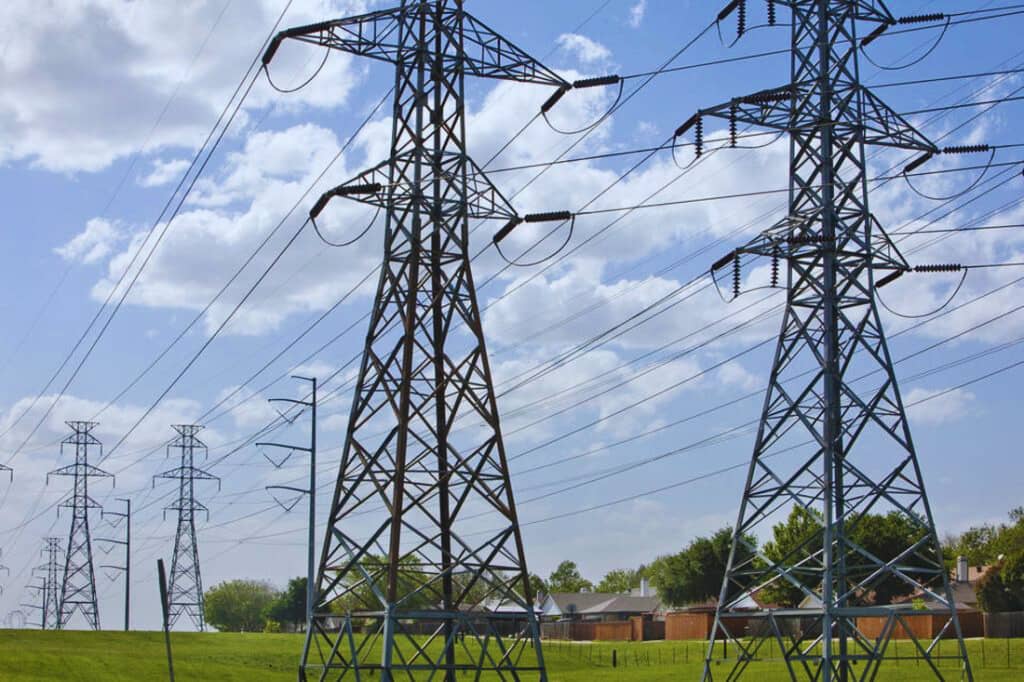
Tackle the problem of electricity access:
Our team employed ML predictions to map the High Voltage networks across Pakistan, Nigeria, and Zambia to create electrical infrastructure maps on a national scale, enabling informed decisions for grid improvement initiatives.
Images annotated
Data points labeled
Related Projects
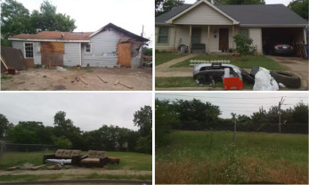
Identify and annotate urban blight classes.
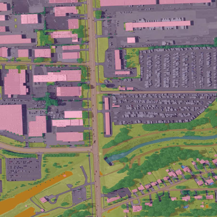
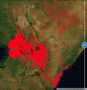
Training data creation for landcover.
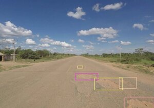
We utilized computer vision and street view images to identify essential road features.
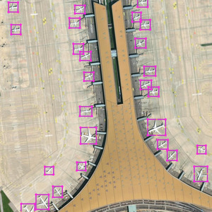
We performed airplane validation in Beijing, New York, Los Angeles, San Francisco, and Tokyo.
Training data creation for school detection.
Training data creation to identify vulnerable houses.