Maximize the potential of your data
We transform raw data into valuable insights.

OUR SERVICE OFFERING
At Geocompas, we specialize in developing geodata and providing high-quality annotations for machine learning models, and other data needs.
DATA ANNOTATION
Train your ML models with high quality data
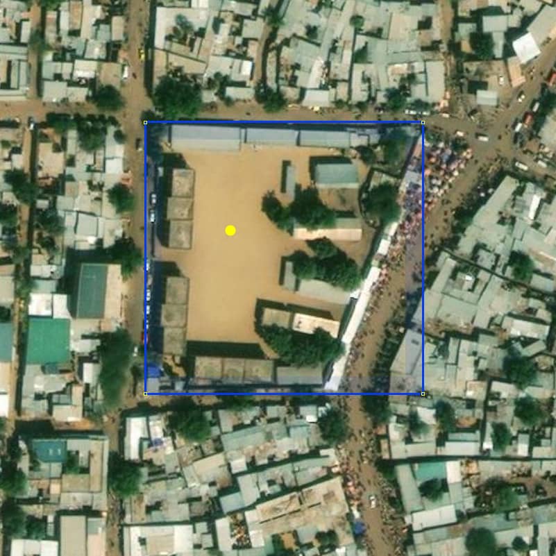
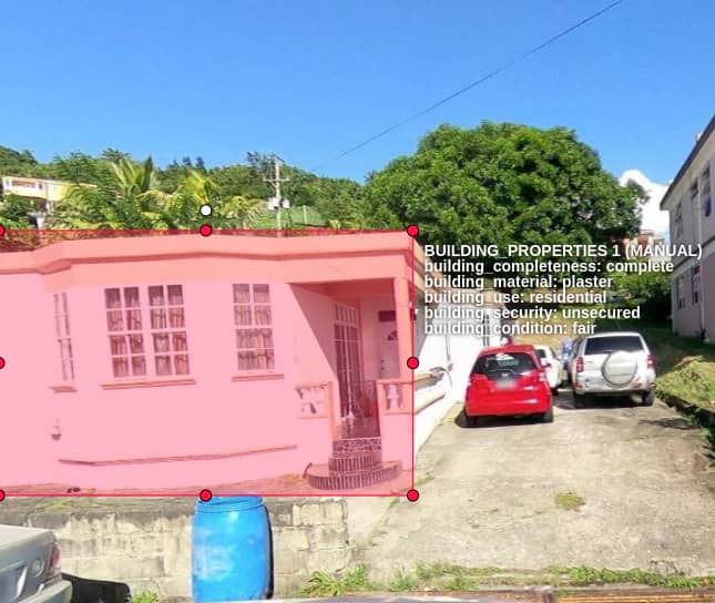
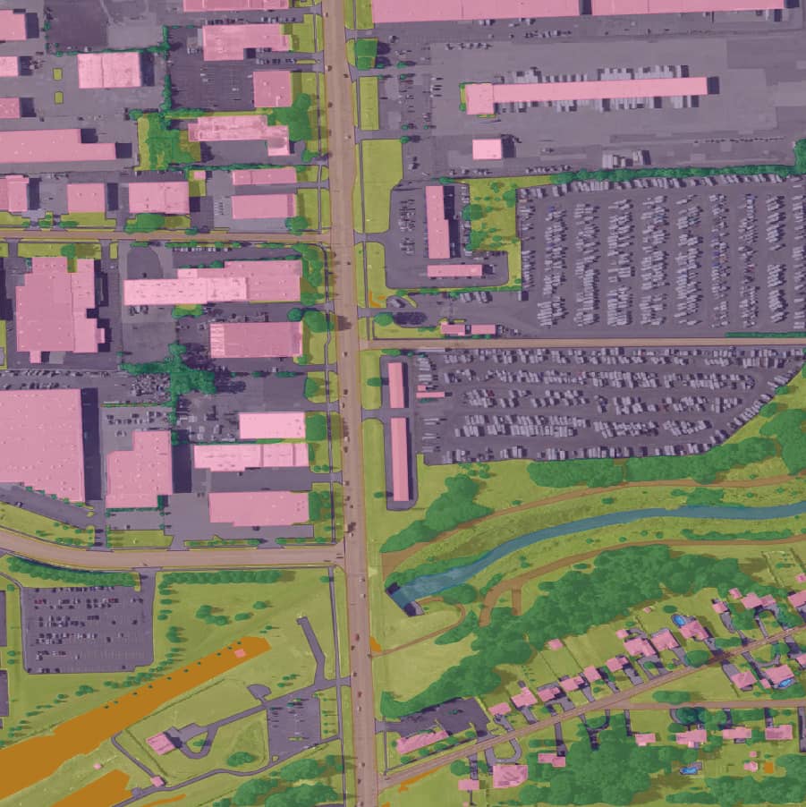
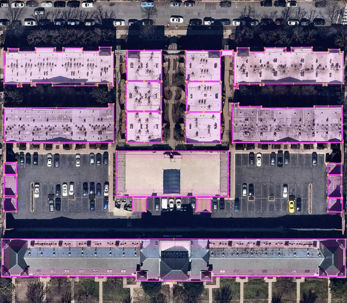
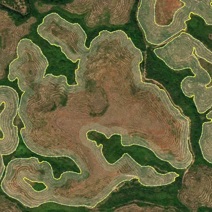
Our dedicated team is a specialist in creating highly accurate ML annotations tailored to your unique project requirements. Explore our image annotation offerings:
Image classification
Object detection
Image segmentation
MAPPING
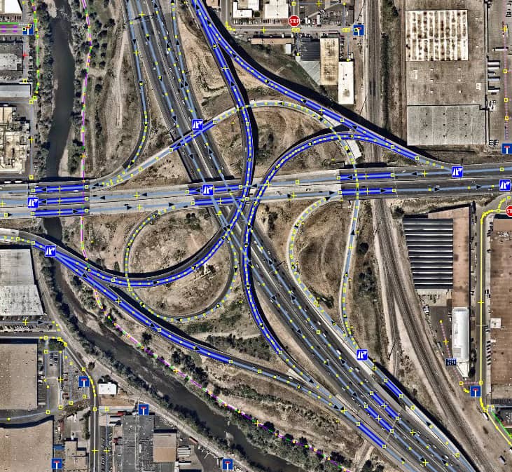
Mapping Excellence
Our team is among the best in the world at developing and improving map data. Having meticulously mapped and refined over 25 million geographical objects within the OpenStreetMap ecosystem, we stand at the forefront of map data development.
DATA PROCESSING
Optimize the entire lifecycle of your data
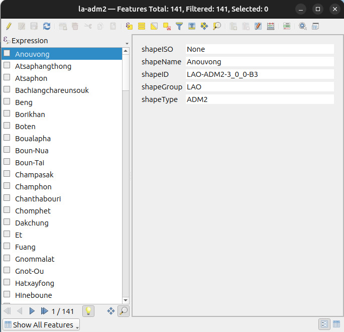
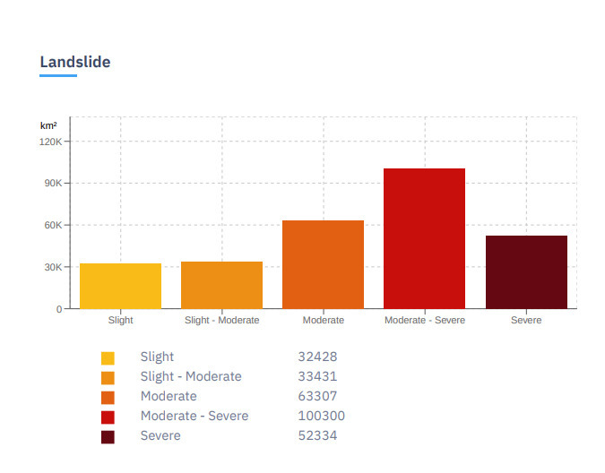
With expertise in ETL processes and handling large datasets, our team manages the data lifecycle ensuring a seamless flow that leads to the delivery of valuable outcomes.
How We Do It?
Efficient workflow, exceptional results.
Data input
We specialize in handling a variety of data formats, including street view images, raster and vector data, satellite imagery, and map layers.
Data exploration and engineering
After getting knowledge about the input data, we customize our tools to set up optimized workflows for efficient data generation.
Data annotation
Expert annotators meticulously label and categorize data, facilitating the training of accurate machine learning models.
Data output
We ensure timely delivery of data in the formats our partners need, accompanied by a report detailing our outputs.
Communication with partners
An ongoing communication with our partners at every stage of our processes ensures we meet and exceed their expectations.
Quality assurance
Our streamlined QA process includes internal validation, partner feedback, and automated scripts to ensure the quality of our outputs.
