AI-ASSISTED MAPPING AND QA
Combining human intelligence and AI.
BRINGING AI INTO OUR MAPPING WORKFLOWS
We leverage Artificial Intelligence (AI) to generate high-quality data, incorporating human oversight in the loop to ensure the utmost data integrity and quality.
Accelerating the mapping process
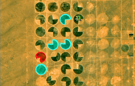
By leveraging AI for automatic object detection and mapping, we accelerate the annotation process while minimizing manual data generation time.
OUR MAPPING PROJECTS LEVERAGING AI
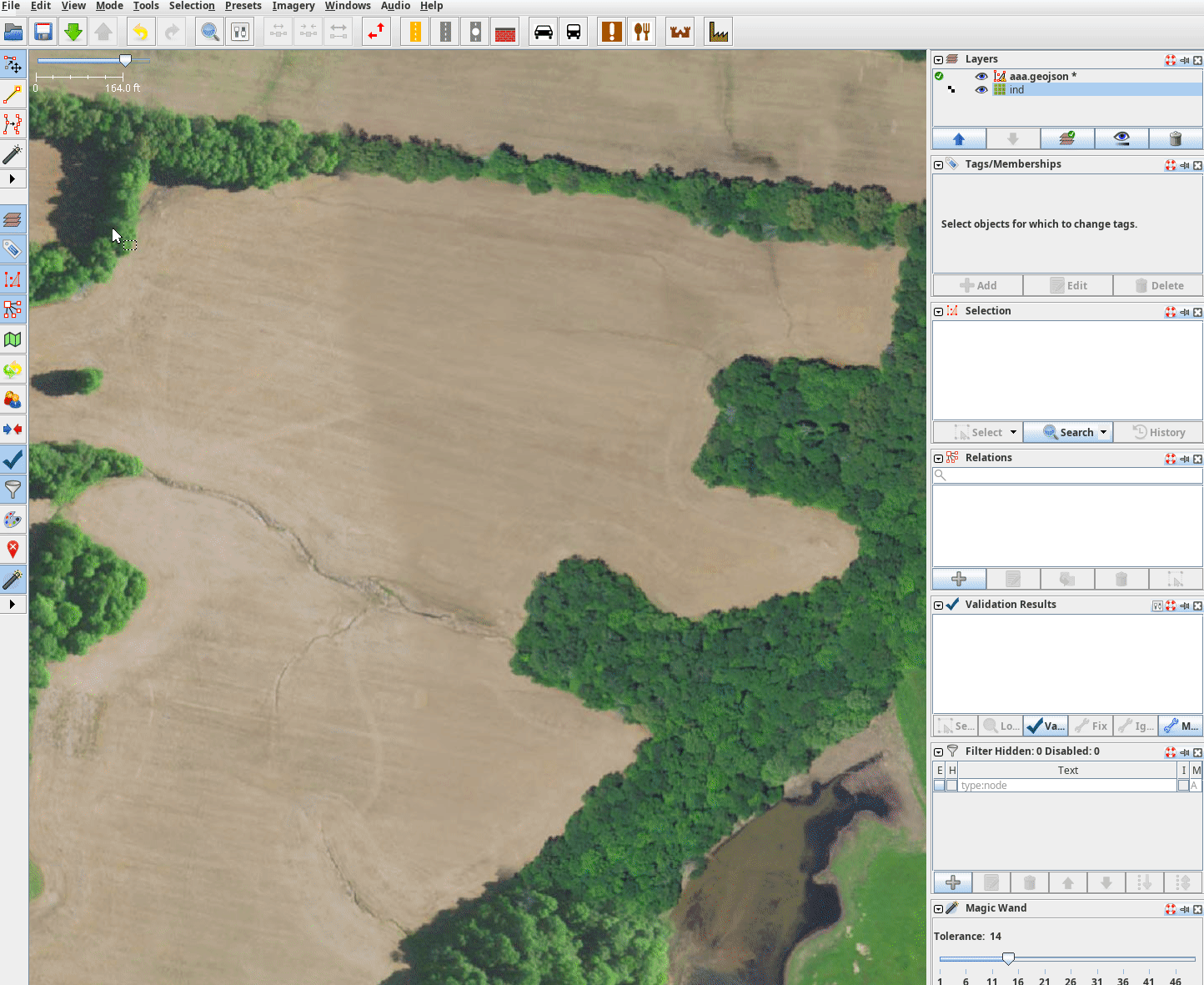
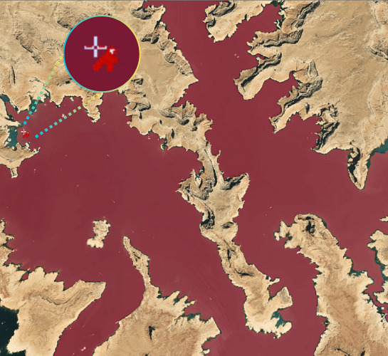
Employing machine learning (ML) in large-scale mapping projects is not unfamiliar territory for us. We've been utilizing ML inferences as a guiding force in our mapping endeavors, and we are actively exploring the integration of advanced models like the Segment Anything Model (SAM) into our tools to simplify the mapping and annotation processes.
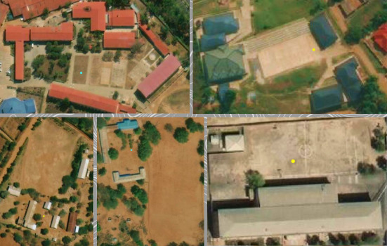
Farms mapping with SAM integrated into our mapping tool
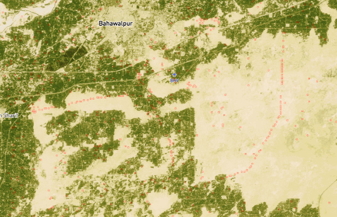
High-voltage towers mapping with ML prediction