Rapid high-quality mapping
Fast, accurate and high quality mapping.

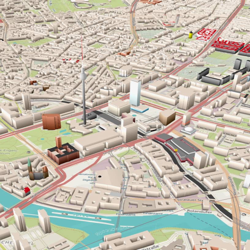
MAPPING THE WORLD
Our team is among the best in the world at developing and improving map data. Having meticulously mapped and refined over 25 million geographical objects within the OpenStreetMap ecosystem, we stand at the forefront of map data development.
MAPPING TYPES
Growing and improving OSM data
We worked on several of the biggest and toughest mapping challenges around the world, adding and improving a variety of geographical objects, such as:
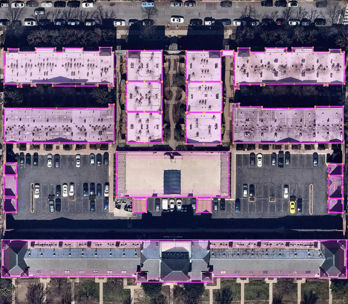
Buildings:
We excel in mapping, importing and validating buildings across the globe.
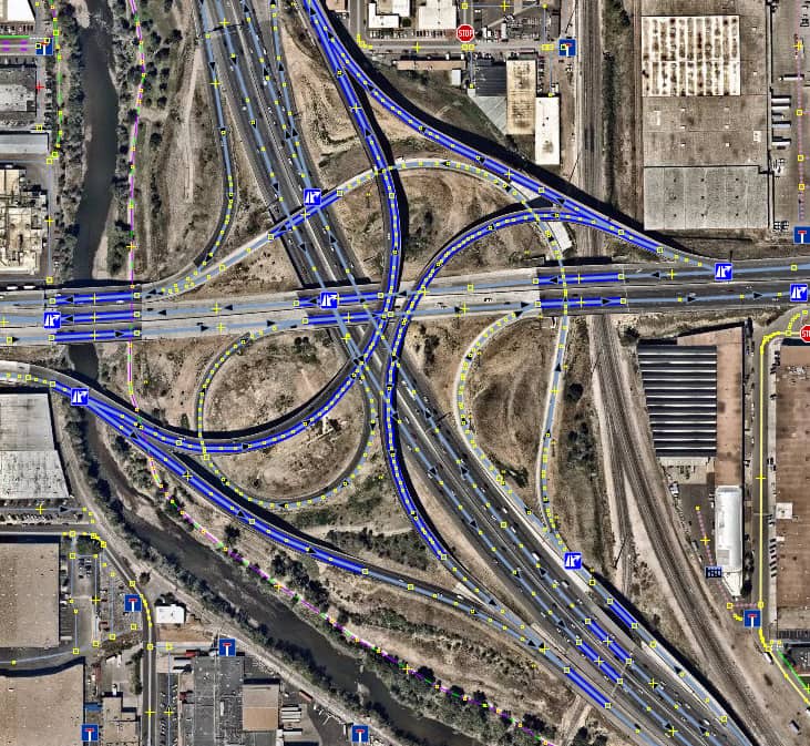
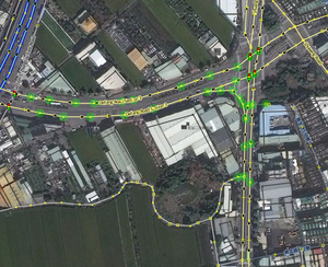
Highways:
We are experts in mapping and aligning road networks using GPS traces and satellite images.
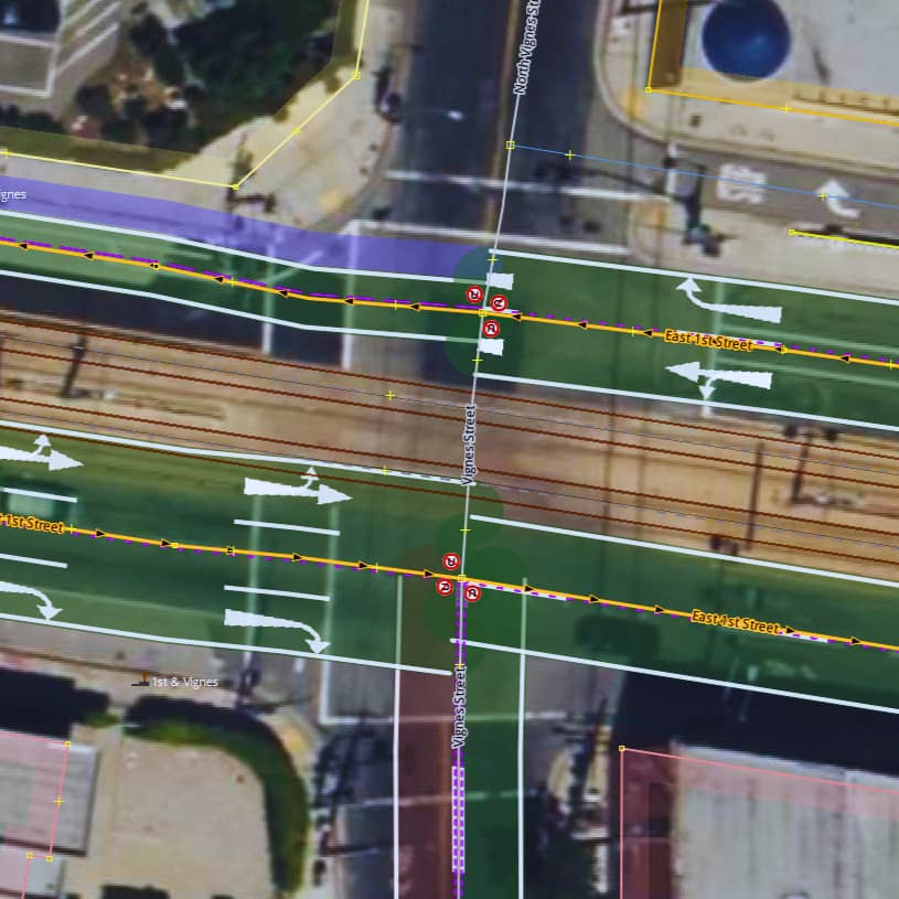
Turn lanes and turn restrictions:
We have extensive experience in mapping projects focused on navigation and guidance.
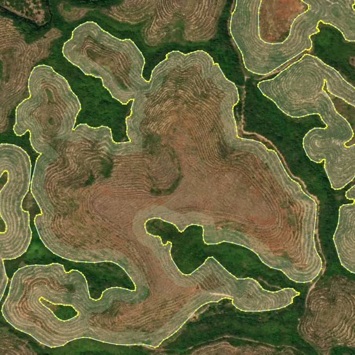
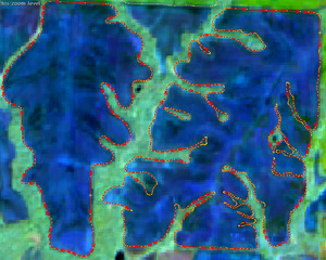
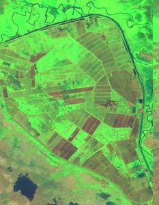
Farm fields:
We map farm fields for projects that has significant importance in the agricultural industry.

USE CASES
Application of map data in the real world
The data generated by our mapping projects have made significant contributions, driving impact across various fronts. From enhancing navigation systems and map visualizations to training machine learning modules and supporting humanitarian aid efforts, the OSM data we added has been instrumental in advancing multiple sectors.
Navigation and Routing
Urban Planning and Development
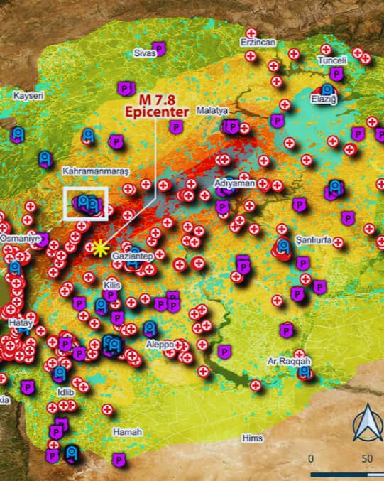
Disaster Response and Humanitarian Aid
Map Visualization Applications
Machine Learning Module Training
Global population analysis
Buildings imported in LA
Buildings added in SF
Km of road network aligned in Taiwan
Turn lanes added in US
Farms added in North America
Related Projects
We added/improved over 1,144 km of highways and improved more than 168,300 buildings.
We mapped more than 67,742 farms spanning across North America.
We mapped 8,857 buildings where 330 buildings were damaged, 648 buildings as collapsed, and there were 7,879 buildings, not any damage
We mapped more than 190 such farms in Ethiopia's lowlands.
We edited 131,832 objects between high voltage towers, substations, etc.
We mapped and aligned 64,680 km of road network in Taiwan.

We imported approximately 2.92 million buildings, with the participation of around 300 mappers.
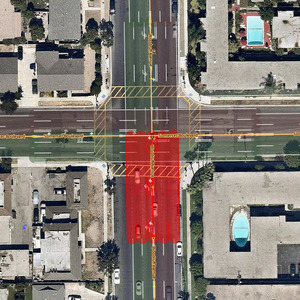
We added 56,686 turn lanes in San Francisco, Washington DC, and Los Angeles.
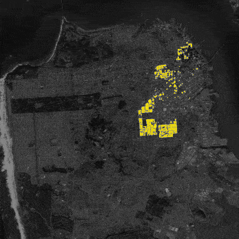
We added and validated over 173,447 building footprints in San Francisco.