Project Connect
Training data creation for school detection.
Ref Data labeling and annotation- annotation
- object detection
- image classification
- school
- ML inference validation
UNICEF Innovation Office is in charge to map every school in Kenya, Rwanda, Sierra Leone, Niger, Honduras, Ghana, Kazakhstan, and Uzbekistan, applying scalable machine learning over high-resolution satellite imagery, with the aim of accelerating connectivity, online learning and other initiatives for children and their communities and driving economic stimulus under UNICEF's GIGA mission, particularly in low-income countries. Your can read more about the Project Connect technical report.
We worked with Development Seed, supporting this project on the training data creation and the ML inference validation.
Training data creation
We generated a high-quality training dataset, for machine learning models, using as data sources; schools provided by UNICEF and schools data from OpenStreetMap from 9 countries, which were: Rwanda, Sierra Leone, Niger, Chad, Sudan, Mali, Honduras, Kazakhstan, and Kenya.
Among all these countries we validated around 120k schools points, adding one of these tags: "dc_has_pattern_school=yes", "dc_has_pattern_school=unrecognized", "dc_has_pattern_school=no"; according the school patterns recognized in each of them.
Post inference validation
We performed a validation of the ML inferences from 8 countries (Kazakhstan, Kenya, Rwanda, Niger, Honduras, Uzbekistan, Sierra Leone, and Ghana), validating more than 113k schools tiles.
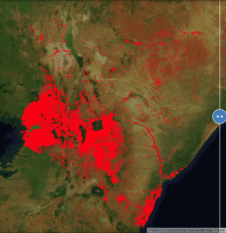
 This gif shows the comparison between the schools validated for training data and the results from ML outputs validation for Kenya.