Full-stack-geospatial solutions
End-to-End Geospatial Solutions.
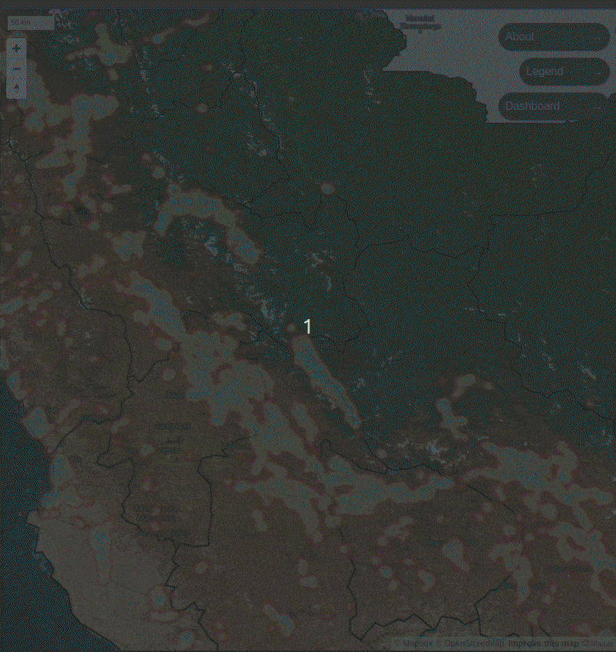
ADDRESSING CHALLENGES WITH SPATIAL DATA
We develop comprehensive, end-to-end Geospatial Solutions tailored for a variety of fields, ensuring precision and innovation at every step.
OUR geospatial expertise
We leverage geospatial tech and GIS to address diverse challenges. From data acquisition and processing to analysis, visualization, and application development, we offer solutions to support geospatial projects across various industries.
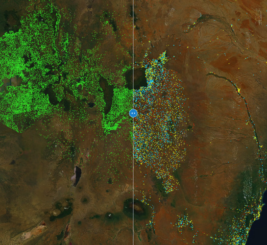
SOLUTIONS ACROSS VARIOUS FIELDS
Geospatial solutions is increasingly widespread across diverse sectors, aiming to tackle specific challenges and enhance decision-making processes.
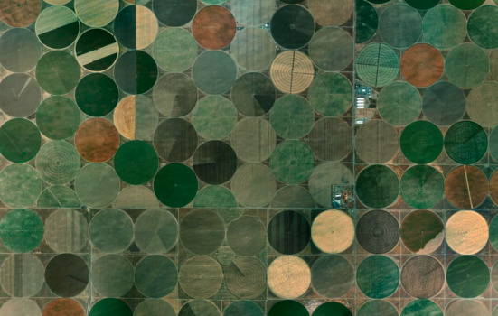
Agriculture and farming