Building data for a better world.
Quality and Precision in Data, We have the recipe for next-level Machine Learning Models.
High - Impact Services
We help Brands with
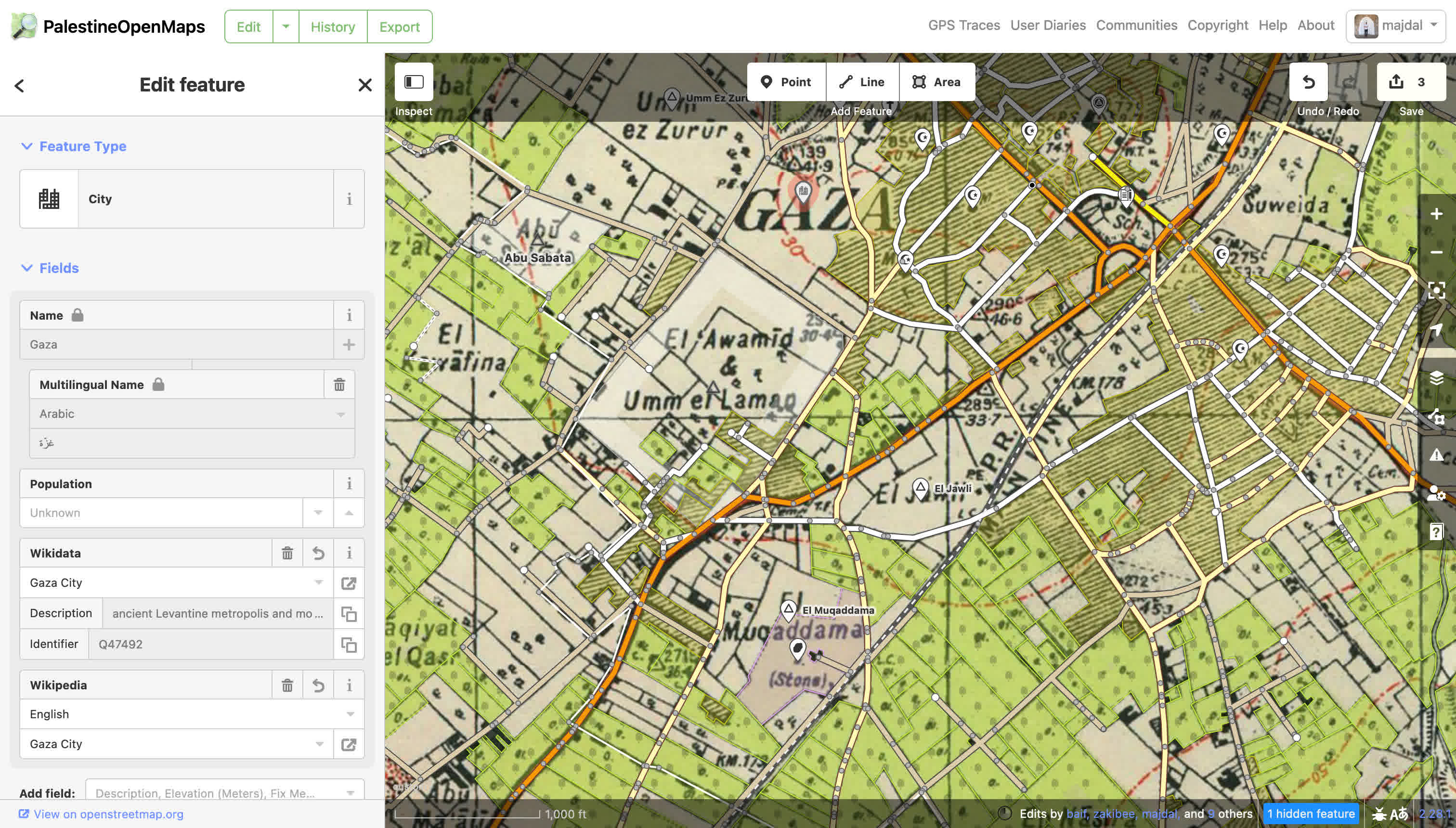
We possess extensive expertise in mapping geographical objects within the OpenStreetMap ecosystem.
We leverage AI to generate high-quality data, incorporating human oversight in the loop to ensure the utmost data integrity and quality.
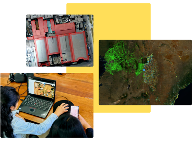
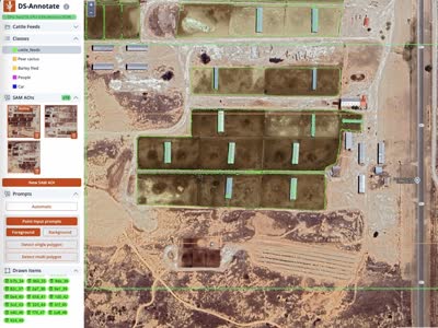
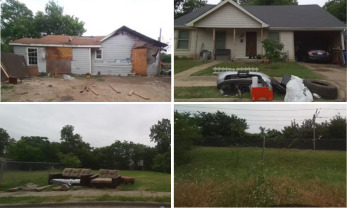
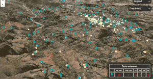
We produce image classification, object detection and image segmentation training datasets for Machine Learning projects.
We are experts in Extracting, Transforming and Loading (ETL) large datasets effortlessly adapting to your project's specific needs and requirements.
We develop comprehensive, end-to-end Geospatial Solutions tailored for a variety of fields, ensuring precision and innovation at every step.
We deliver a comprehensive OpenStreetMap ecosystem software solution, streamlining your project initiation with ease and efficiency.
Company Facts
Our experience in numbers
0+
Years in the Geospatial Field.0M+
Objects Edited in OpenStreetMap.0k+
Images Annotated for ML.0k+
Data Points Labeled for ML.Why Choose GeoCompas?
We work to make your data driven projects successful.
Quality and Speed
We maximize speed while maintaining high accuracy and reliability in the data we deliver.
Efficient Workflows
Our unique combination of experience and innovative technology allows us to deliver faster and more efficient solutions.
Extensive Expertise
We are one of the most prolific and accomplished mapping teams in the world with extensive experience in data annotation for ML.
Data Tool Creators
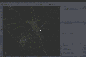
We specialize in developing and customizing tools for annotation and mapping.