Training dataset for PEARL
Training data creation for landcover.
Data labeling and annotation- annotation
- segmentation
- landocover
- JOSM
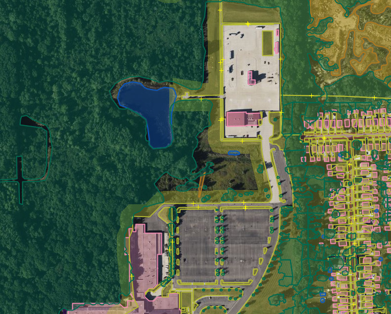
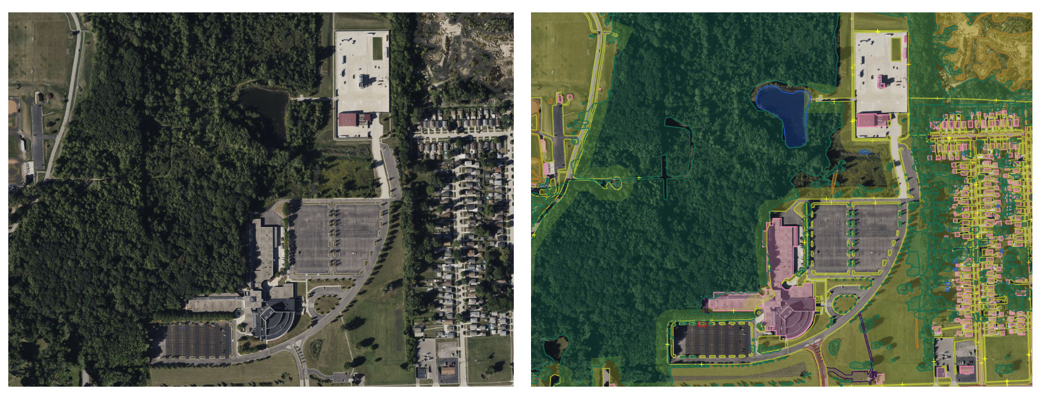
We worked on creating an open training dataset for Planetary Computer Land Cover Mapping (PEARL), a landcover mapping platform that uses human in the loop machine learning approach. For this, we annotated 7 classes, such as: tree canopy, grass/shrub, bare soil, water, buildings, roads/railroads, and other impervious (service roads, parking lots) in 3 AOI’s of Detroit.
The tool used for this annotation was Java OpenStreetMap Editor (JOSM), a tool that allowed us to do segmentation labeling of several classes in satellite imagery, in addition, one of the advantages of this tool is it allows you to add and modify boundaries fast and easy.
 Satellite image (left side) and view of the annotation in the JOSM tool (right side).