Housing Passports
Training data creation to identify vulnerable houses.
Ref Data labeling and annotation- annotation
- object detection
- building
- street-view image
- ML
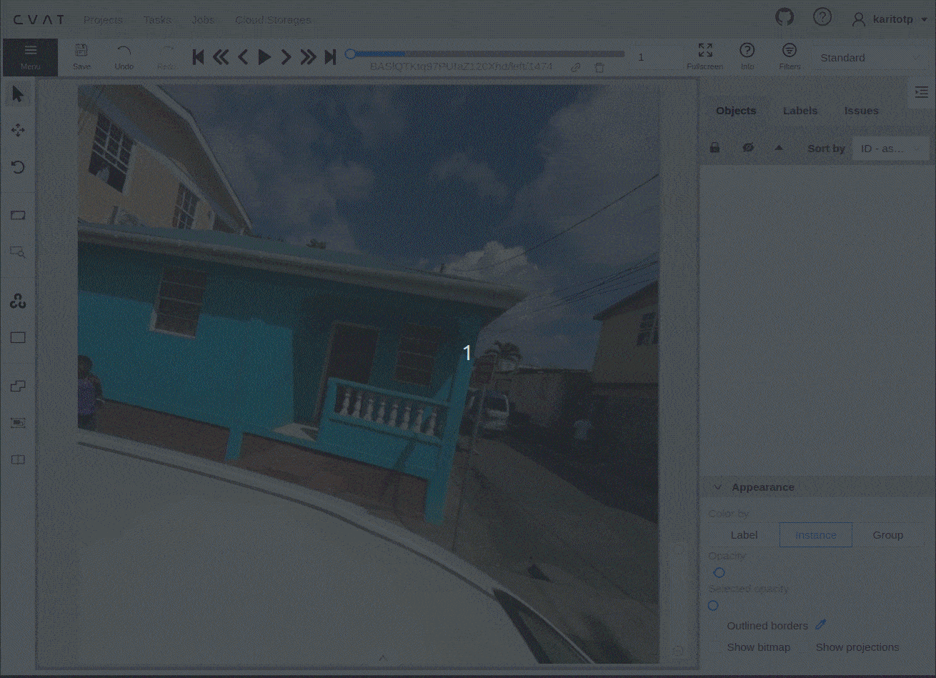
- CVAT
We annotated around 70,000 images for the training of machine learning (ML) modules, in collaboration with Development Seed. This project aims to identify potential risks associated with buildings based on their characteristics, enhancing our understanding and management of urban spaces.
This project was to support the World Bank’s Global Program on Resilient Housing to find vulnerable housing, that are potentially dangerous during earthquakes or other disasters, in street view images using AI. You can always read more about Finding vulnerable housing in street view images using AI to create safer cities.
We generated training data, with a large and high-quality dataset, anyone can use that to develop ML models and find vulnerable houses faster/easier. For this, We processed the Street View images collected by the World Bank, and then labeled the building properties and building parts focused on features that are relevant when assessing a building's resiliency. More details about the annotated features can be found in the labeling guidelines for Housing Passport project.
Stats:
We labeled dataset for 8 cities in different countries such as; Colombia, Peru, Mexico, St. Maarten island and Saint Lucia, where we achieved the annotation of around 70k images among the buildings properties annotation and 4 types of building parts (window, door, garage, disaster mitigation).
 Detecting building properties in street view imagery. Sample detections for building completeness (left), design (middle), and construction material (right). Notice that the models work reasonably well even with obstructions (like this bus).
 Registering street view detections to the map The continuous stream of images often leads to several detections per structure (left). Knowing the car’s location, heading, and camera field of view, we create a geospatial line for each bounding box detection originating at the car and pointing outward (right). We assign this detected property (and confidence) to the first building polygon (blue box) intersected.