Mapping road network in Taiwan
We mapped and aligned 64,680 km of road network in Taiwan.
Ref Rapid high-quality mapping- mapping
- road
- strava
- JOSM
- OSM
At the end of 2016, we contributed to the road network mapping and alignment efforts in Taiwan. This initiative was driven by a data quality study conducted on OpenStreetMap in Taiwan, focusing on satellite imagery. Through comparisons with Bing Imagery and available GPS traces such as the Strava Heat Map, we observed a significant data offset of 15-20 meters relative to GPS traces."
Regarding data realignment, discussions have taken place on the Taiwan mailing list, with members of the Taiwan community expressing their support for addressing these alignment issues.
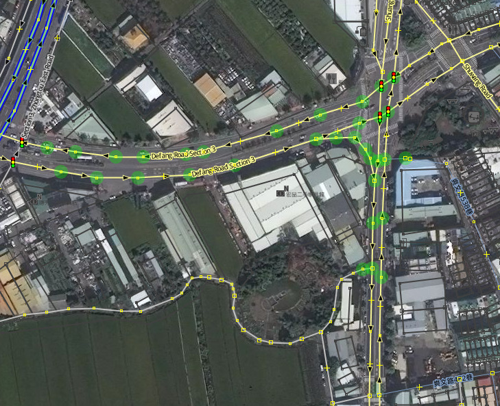
We mapped and aligned 64,680 km of road network in Taiwan, constituting 54.4% of the entire road network in the country. The project comprised 43 tasking manager tasks, covering 27,000 km², which represents 74% of the total area of Taiwan.
The mapping and alignment efforts were focused on six cities: Taipei, New Taipei, Hsinchu, Taichung, Yilan, and Tainan.
 Mapping and aligning road network in Taiwan.