Empowering Palestine Open Maps with OSM-Seed
Palestine Open Maps - Unveiling the Past, Enriching the Future
Ref OSM-as-a-service- OpenStreetMap
- Docker
- kubernetes
- History

At GeoCompas, we are proud to announce our support for integrating OSM-Seed into Palestine Open Maps, significantly enhancing the platform's capability to deliver the most comprehensive geospatial data on Palestine from before the 1948 Nakba.
OSM-Seed, a robust and self-hosted OpenStreetMap software environment, which provides dynamic and extensive mapping services. This integration facilitates real-time updates, ensuring that the maps portray the most comprehensive historical geographical data produced through the mapathons.
Palestine Open Maps, launched in March 2018, is a collaborative effort aimed at narrating the historical and geographical transformation of Palestine over the past century, telling the story of the ethnic cleansing of Palestine and the Nakba through maps. It collects and makes available historical maps of Palestine from the British Colonial Mandate era, leveraging maps, data, photographs, and oral histories, it provides a rich, immersive experience. The maps, primarily sourced from the Survey of Palestine and the Palestine Exploration Fund, come from institutions like the National Library of Israel and the National Library of Australia.
The Palestine Open Maps project is a collaborative effort involving several key individuals and entities. Ahmad Barclay, who found the maps, collaborated with Majd Al-Shihabi and other contributors to create the first prototype at an Impact Data Lab event organized by Visualizing Palestine. The Basel Khartabil Free Culture Fellowship, supported by the Creative Commons, Mozilla, and Wikimedia Foundations funded Majd’s work on running mapathons to extract data from the historical maps. The project continues with significant support from Visualizing Palestine. All data produced in the mapathons is published under an Open Data Commons Open Database License (ODbL).
Here are the services that are working on for Palestine Open Maps.
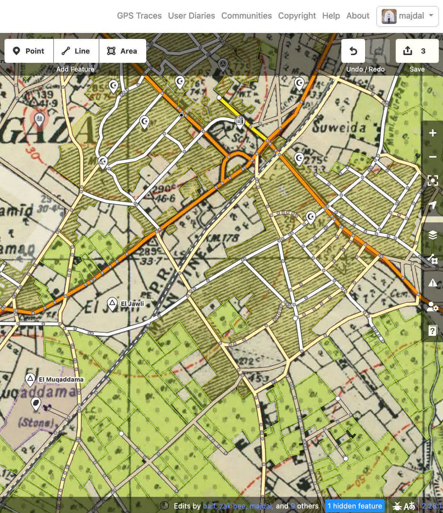
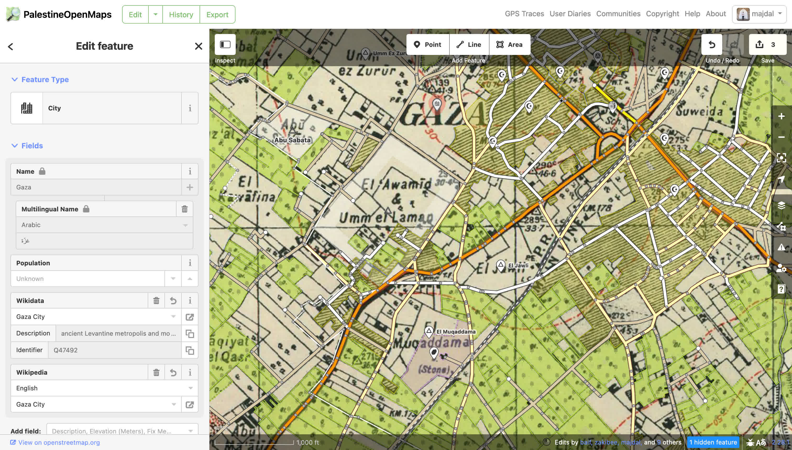
The OSM infrastructure to extract data from historical maps, including the OSM database and the iD editor.

Nominatim service, built with Palestine Open Map data, available at https://palopenmaps.github.io/nominatim-ui and api https://nominatim-api.palopenmaps.org
Tasking Manager for organizing the historical mapping efforts: https://tasks.palopenmaps.org
All replication and planet files can be found at https://planet.palopenmaps.org.
Tiler service to display the maps is available at: https://tiler.palopenmaps.org.
For more information about the process, contact us at info@geocompas.org.
